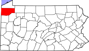
Mapping data from USGS GNIS
CRAWFORD COUNTRY CEMETERIES
There may be duplicate entries for cemeteries, and some cemeteries may overlap township lines.
Cemeteries with Names Beginning with A and B
|
Cemetery Name & Transcription Link
|
Map
|
Photos
|
USGS ID
|
Latitude
DEC |
Longitude
DEC |
USGS TOPO Map
|
Township/Borough
|
|
Adsit Cemetery A- B- C- D- E-H I-M- N-U- V-Z |
Map | 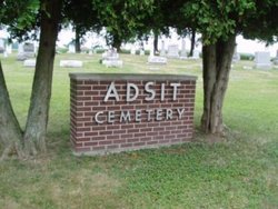 |
1168085 | 41.5788994 | -80.2938995 | Conneaut Lake | Sadsbury |
|
Alexander
|
Summerhill | ||||||
| Allen | Plaque reads: "The remains of thirty three people rest within fifty feet of this marker." | 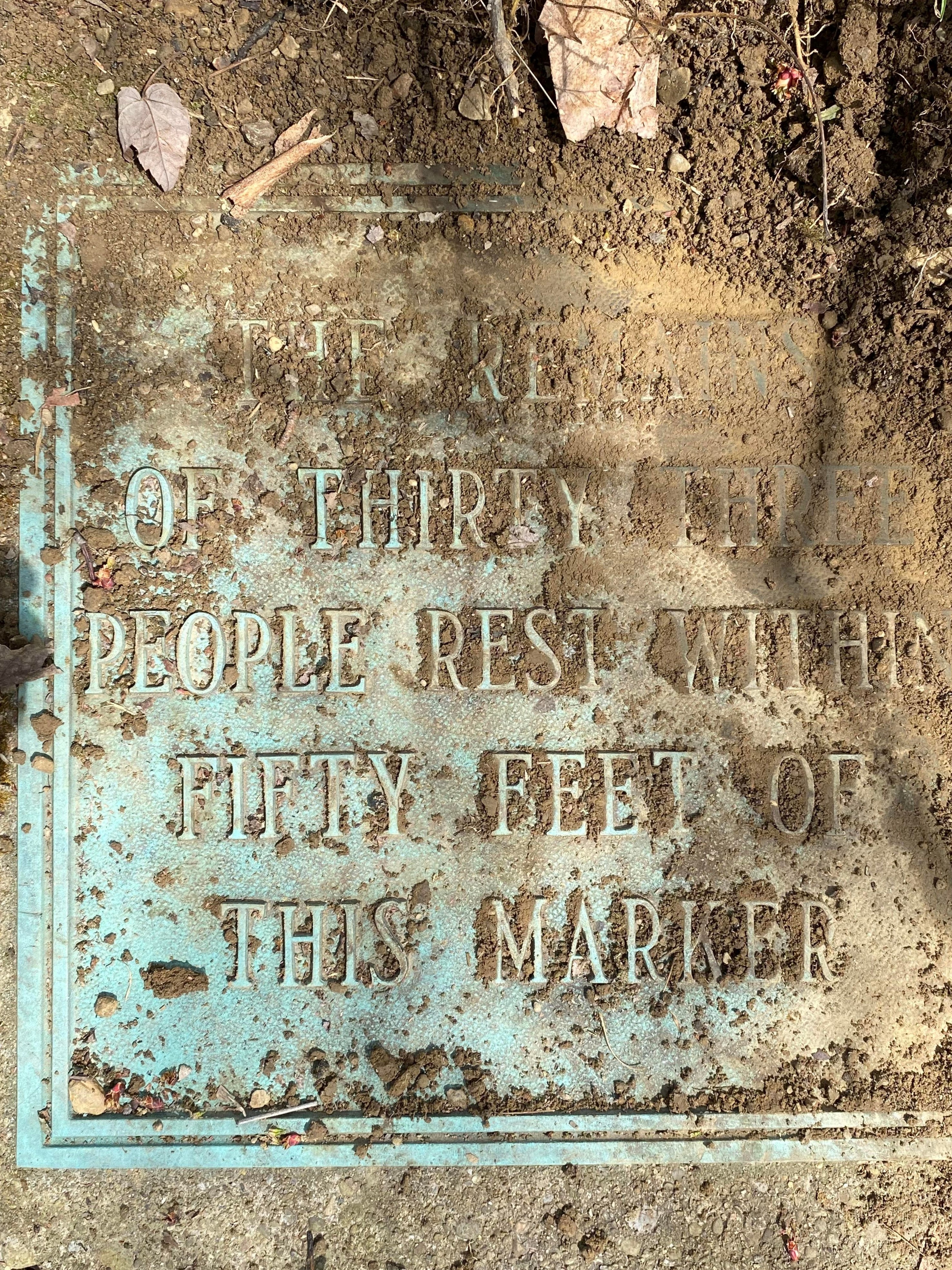 |
Borough of Cambridge Springs | ||||
| Amish Cemetery #1 | 41.48588 | -80.33671 | Atlantic Twp. | ||||
| Amish Cemetery #2 | Map | 41.4947420 | -80.3444720 | Greenville East | Atlantic Twp. | ||
| Amish Cemetery #3 Adjacent to the Unger Cemetery. They share the same piece of land, but the Amish Cemetery is to the left of the Unger Cemetery and is fenced in. This cemetery is no longer in use as a burial ground. The cemetery in on private land and you need permission to enter. |
Map | 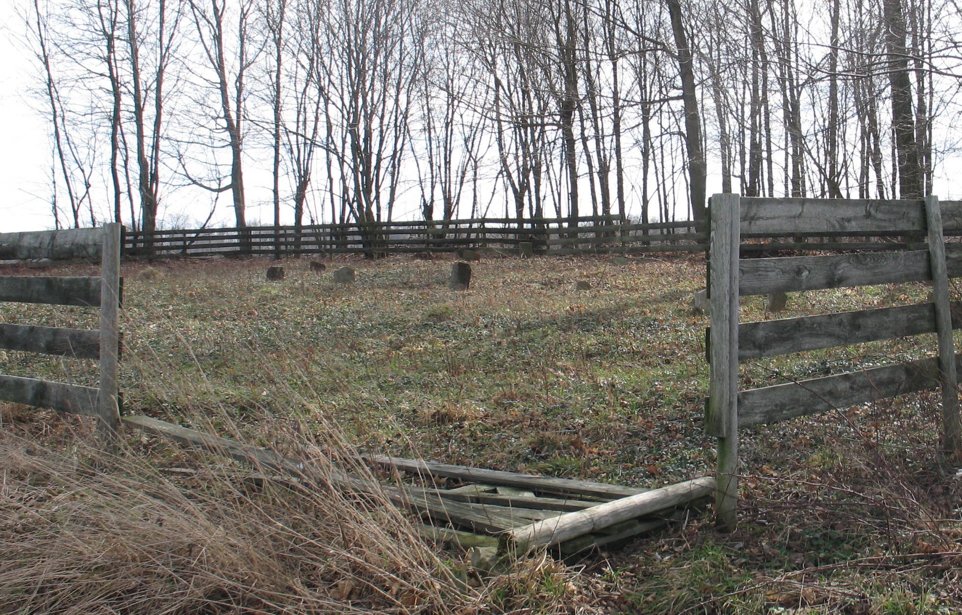 |
41.5389000 | -80.3124000 | Conneaut Lake | Atlantic Twp. | |
| Amy Cemetery | 1179511 | Athens Twp. | |||||
| Anderson Family Cemetery A-B C-G H-L M-Z |
Map | 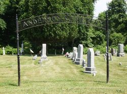 |
1168284 | 41.5345878 | -80.2072525 | Geneva | Borough of Cochranton |
|
Andrews Family Cemetery A-Z |
Map | 1168302 | 41.5931396 | -80.2366561 | Geneva | Vernon Twp. | |
| Andrews Cemetery | 41.5931015 | -80.2367020 | Vernon Twp. | ||||
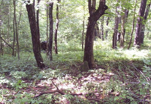
| Bailey Cemetery In 1968 this cemetery had only one visible tombstone. There were bases found for two others. This cemetery has been abandoned and nearly forgotten. It is located on the south side of Hamilton Road east of Muddy Creek and is marked by a growth of trees and brush and a heavy growth of myrtle close to the road. The Veteran Affairs office removed two graves from this Cemetery in 1959 and transfered them to the nearby Drake Cemetery on Dewey Road in Little Cooley. The Veterans that were removed were Simeon Z. Bailey and Jedidiah Shaver. The last known burial in this cemetery was that of a Mrs. Graham about 1910, but no stone was erected for her. There are sure to be other burials here known but to God. |
 |
41.7373760 | -79.8753260 | Athens Twp. | |||
|
Baker Cemetery Transcription |
Map |  |
2799539 | 41.6887512 | -79.8835449 | Townville | Borough of Townville |
| Baldwin Cemetery | Linesville | Pine Twp. | |||||
| Baldwin-Snyder Cemetery | Map | 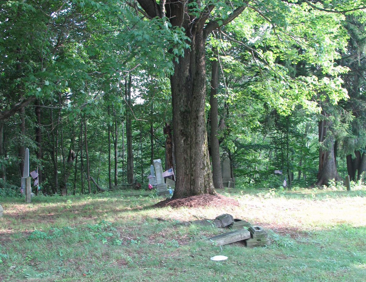 |
1168652 | 41.123789 | -80.4597743 | Linesville | Conneaut Twp. |
| Barber Cemetery aka (New Burying Ground or Stratton Cemetery) Transcription |
Map | 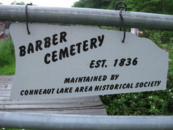 |
1168694 | 41.5989069 | -80.3005794 | Conneaut Lake | Sadsbury Twp. |
|
Barber Cemetery This cemetery is located just off US Route 6 in Conneaut Township. Is located 1/2 mile east of Pennline and 1 1/2 miles west of Findley Bridge. Located on private property and permission needs to be obtained before entering the cemetery. Burials: It has seven known burials, the earliest being 1835, the latest 1937. Transcription |
Map | 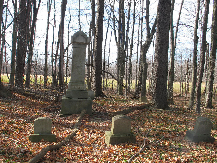 |
2801388 | 41.7047958 | -80.5037002 | Leon | Conneaut Lake Twp. |
| Barton Farm Cemetery Transcription |
41.69576 | -79.87089 | Borough of Townville | ||||
|
Beatty Cemetery aka (Breckenridge Cemetery) Transcription |
Map |  |
1170186 | 41.6498064 | -80.2611202 | Harmonsburg | Vernon Twp. |
| Beaver Center Cemetery Transcription |
Map | 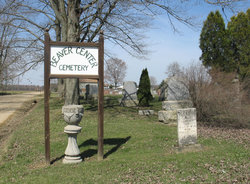 |
2801490 | 41.8025393 | -80.4702952 | Beaver Center | Beaver Twp. |
| Bennett Cemetery | Union City Oil Creek Twp. |
||||||
| Bidwell Cemetery | 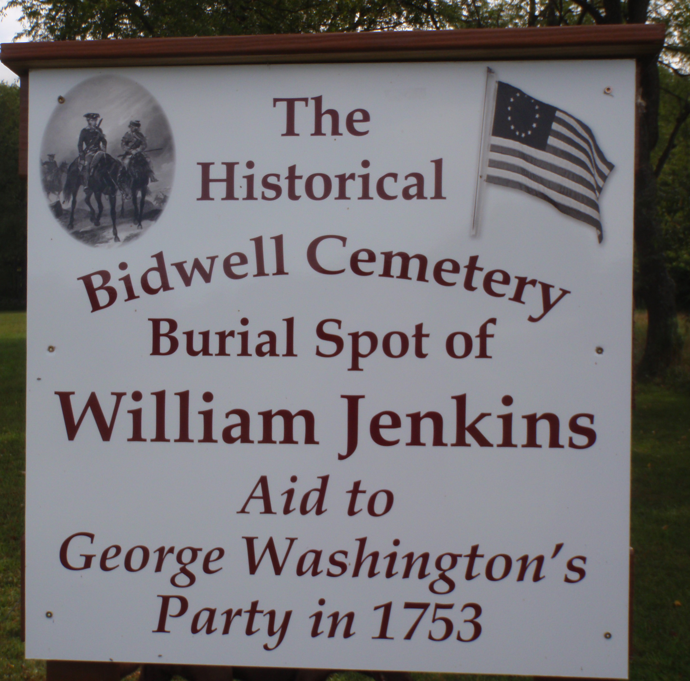 |
41.7595960 | -79.8991010 | Little Cooley | |||
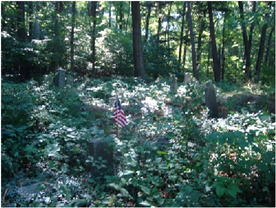
| Birch Cemetery Birch Cemetery is located on Dunn Road, 1.1 miles from Stein Hill Road. It sits on the top of the hill in the corner of the woods. This is an inactive, overgrown cemetery. |
 |
41.5155390 | -80.0814470 | Borough of Cochranton | |||
| Black Ash Cemetery Transcription |
Map | 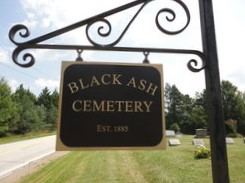 |
2800508 | 41.5901865 | -79.9064450 | Sugar Lake | Randolph Twp. |
| Blakeslee Family Cemetery | Map | 2799545 | 41.843036 | -79.8410992 | Lake Canadohta | Tillotson | |
| Bloomfield Burying Ground aka (Bloomfield Cemetery) Transcription |
Map |  |
1169842 | 41.8189386 | -79.8169903 | Lake Canadohta | Bloomfield Twp. |
| Blooming Valley Cemetery A B-G H-K L-Q R S T-V W - Waid, A-C Waid, D-G Waid, H-L Waid, M-W & Wi-Wo Y-Z |
Map | 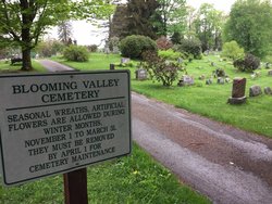 |
1169851 | 41.6847223 | -80.0470089 | Blooming Valley | |
| Blooming Valley Mennonite Cemetery Blooming Valley Mennonite Fellowship (15546 Castile Rd, Guys Mills, East Mead Twp, Crawford Co,PA) was organized in 1978 & the cemetery is near by |
41.6880770 | -79.9817030 | Guys Mills | ||||
| Bradford Family Cemetery The Bradford Family Cemetery is located in the woods on Firth Road. |
Sparta Twp. | ||||||
| Bradley Farm Cemetery aka (Dickson Cemetery) |
Greenwood Twp. | ||||||
| Brawley Cemetery Transcription |
Map | 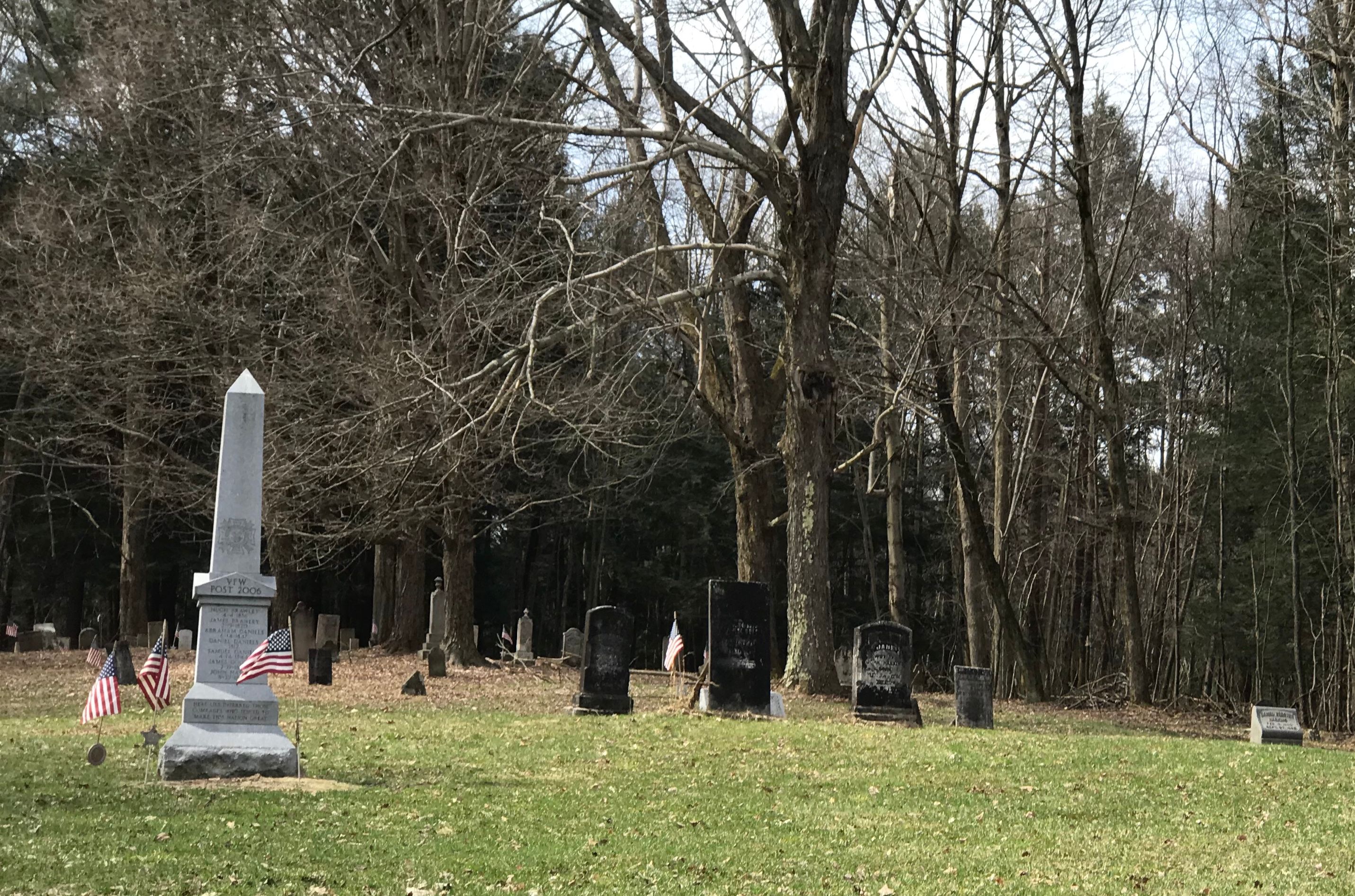 |
1170179 | 41.6000094 | -79.9922756 | Sugar Lake | Randolph Twp. |
|
Breckenridge Cemetery aka (Beatty Cemetery) Transcription |
Map | 1170186 | 41.6498064 | -80.2611202 | Harmonsburg | Vernon Twp. | |
| Britton Run Cemetery Transcription |
Map | 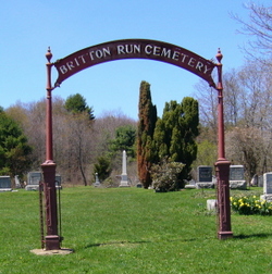 |
2801127 | 41.7933305 | -79.7423291 | Spartansburg | Sparta Twp. |
| Brookhouser Cemetery A Ba-Bo Br-Bz C D-E F G Ha-He Hi Ho-Hu I-L M-Ma Me-Mu N-O P Q-R T U-Z |
Map | 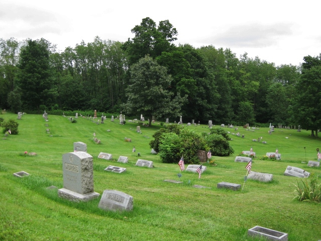 |
1170324 | 41.7224344 | -80.1563305 | Meadville | Hayfield Twp. |
| Brooks Cemetery | Map | 1170332 | 41.7781161 | -80.4988313 | Beaver Twp. | ||
|
Broughton Cemetery aka (Mickle Cemetery) Once thought destroyed and plowed over, this cemetery remains intact. Previous owners of the land told people the cemetery had been destroyed so that people wouldn't visit. Transcription |
Map | 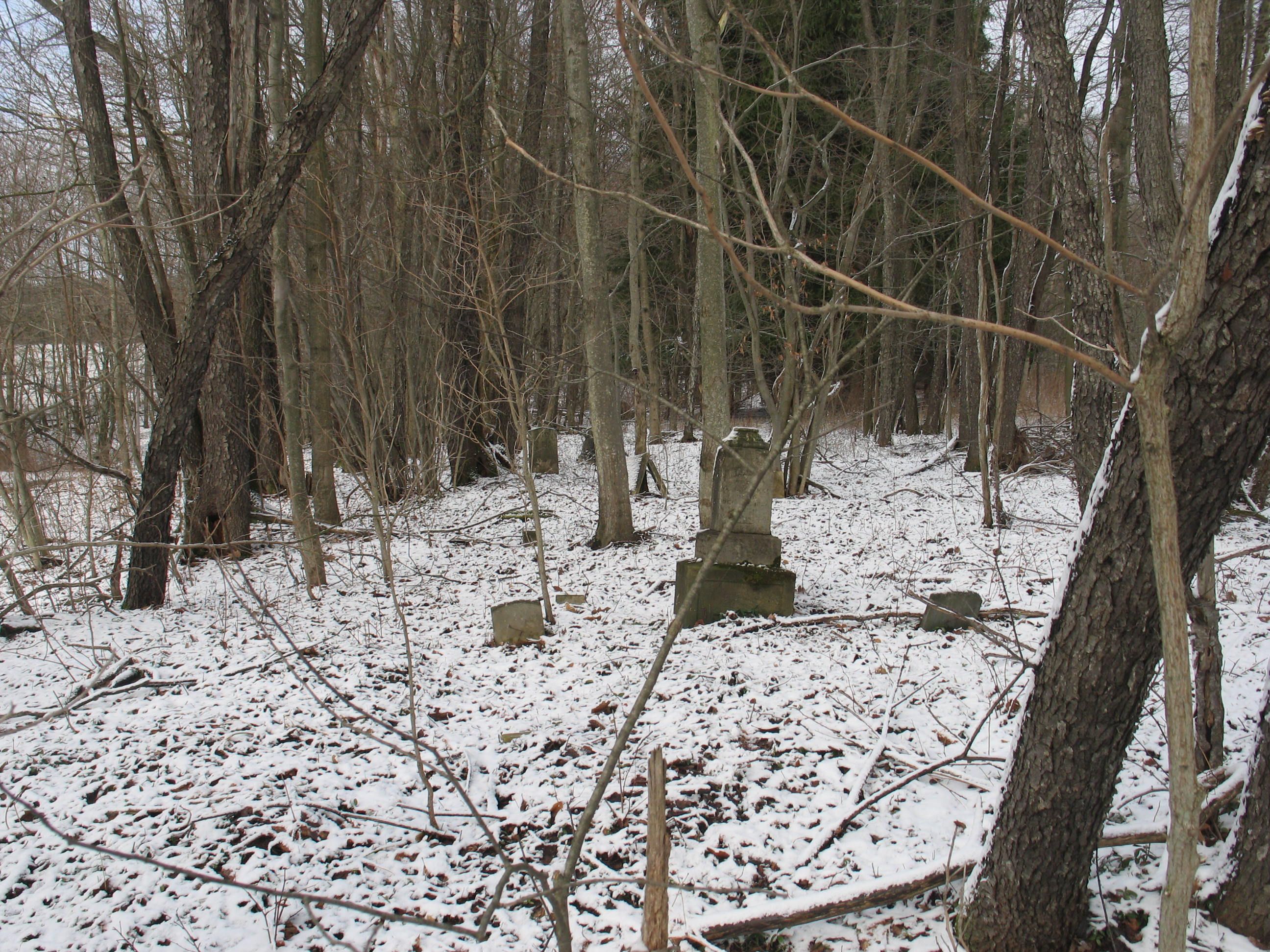 |
41.6967000 | -80.4331000 | Conneaut Twp. | ||
| Brown Family Cemetery aka (Dianthe Brown Lot) This location is the site of abolitionist John Brown's tannery. His first wife, Dianthe Lusk Brown, died here in childbirth. She and their infant son are buried together on the property, along with son Frederick Brown who died during childhood. |
Map | 41.7184830 | -79.9501460 | Richmond Twp. |
.gif)
